
In 1897, the Midland Railway Company were surveying for their line between Heaton Mersey and Sheffield. When they were working in the proximity of the Upper Peak Forest Canal, between the 11½ milestone and Potters Hey, the surveyors observed the slippery clay bank lying between the canal and the line of the railway. Although the canal had not given any problems here in the 101 years of its existence, the Midland Railway Company were, nevertheless, concerned that the slippery clay slope could cause the canal to breach at this location at some time in the future and that such an event would sweep away the railway line in the vicinity.
As a result of these geological problems, negations commenced between the Midland Railway Company and the Great Central Railway Company (then the owner of the Peak Forest Canal) with a view to persuading the canal owner to re-align the canal hereabouts to eliminate this danger. An agreement was finally reached on the 10 Jan 1903 and the canal, over a distance of about 328 yards was moved southwards onto a re-alignment where the land was considered to be more stable. On completion of this work the original section of canal was drained and left in situ.
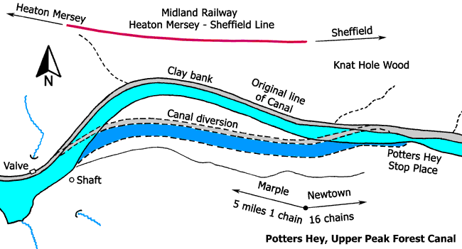
Potters Hey, Jan 1967.
View from the towpath looking along a line of coping stones edging the canal.
Photo: B Lamb
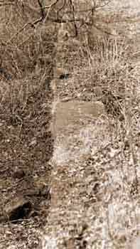
Potters Hey, Jan 1967.
View from the bed of the canal looking along the towpath edging the canal. In the foreground, the coping stones are missing but the stone wall that lay beneath them is still extant.
Photo: B Lamb
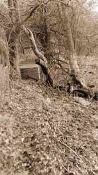
Potters Hey, Jan 1967.
View of the towpath from the bed of the canal showing traces of stone wall edging the canal.
Photo: B Lamb
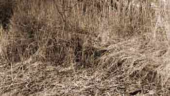
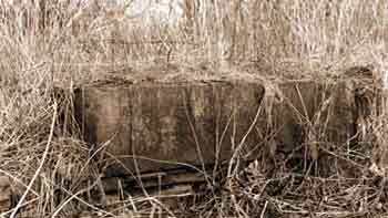
Potters Hey, Jan 1967.
View of the towpath from the bed of the canal showing the detail of a large coping stone.
Photo: B Lamb
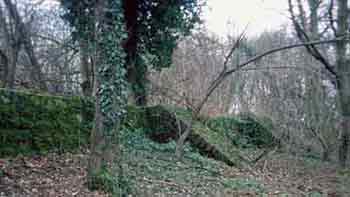
Buttresses supporting the abandoned section of canal, 2008.
While the upper level of the canal was being constructed between 1794 and 1796, the canal builders recognised the unstable ground and the stretch of the now abandoned canal was supported on the valley slope by substantial abutments.
Photo: D Brumhead
